 Riders Compass
Plan the ride, not just the route.
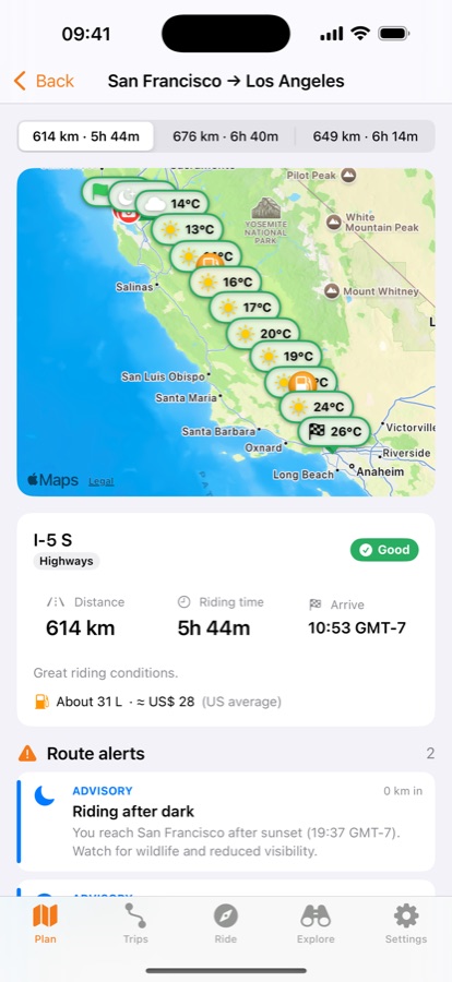
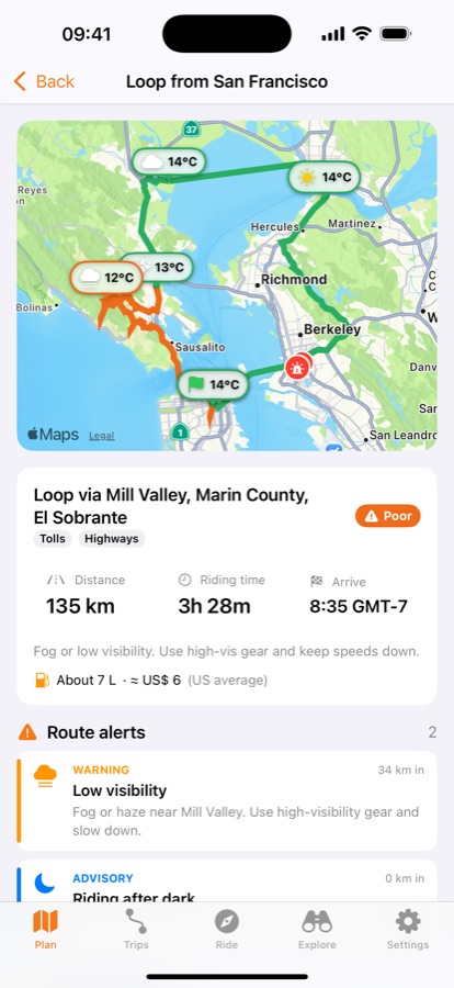
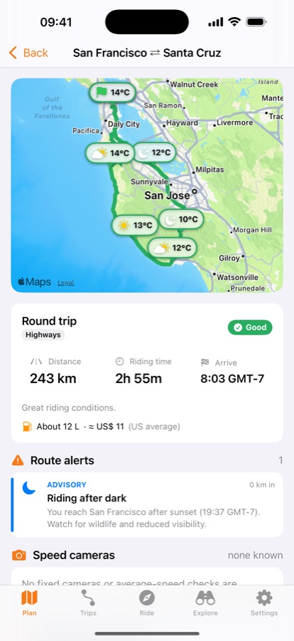
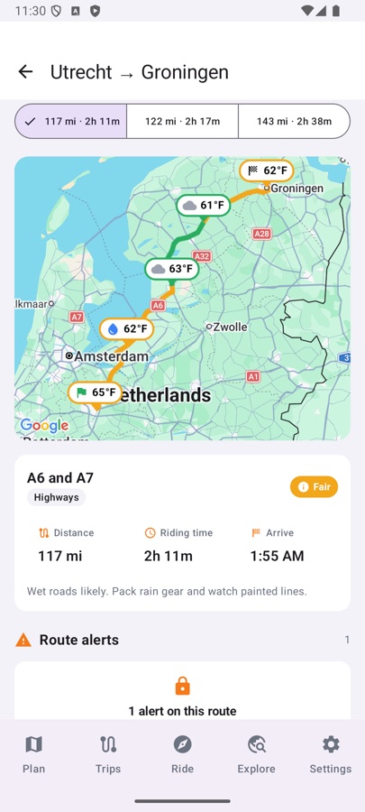
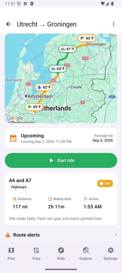
Riders Compass tells you what the weather will be when you get there. Every checkpoint along the route shows the forecast for the hour you will actually reach it.
Plan
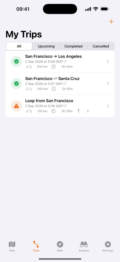
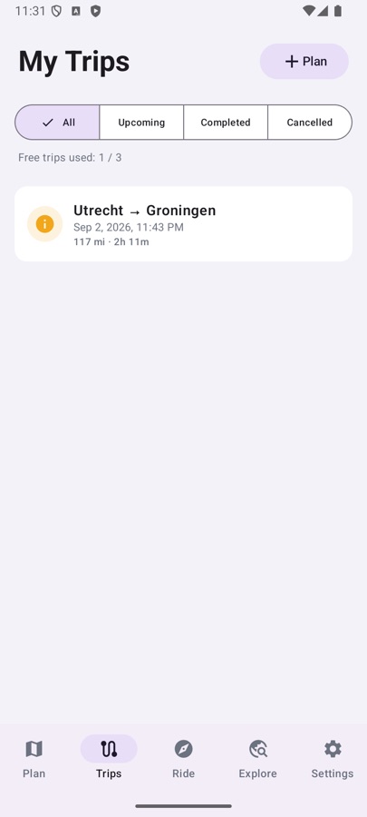
- Routes with alternatives, stops, round trips and generated loops
- Weather at your arrival time at every point, up to 16 days ahead
- Riding-condition rating and a route coloured by it
- Alerts for storms, ice, wind, rain, fog, heat and riding after sunset
- Elevation profile with climbs and descents
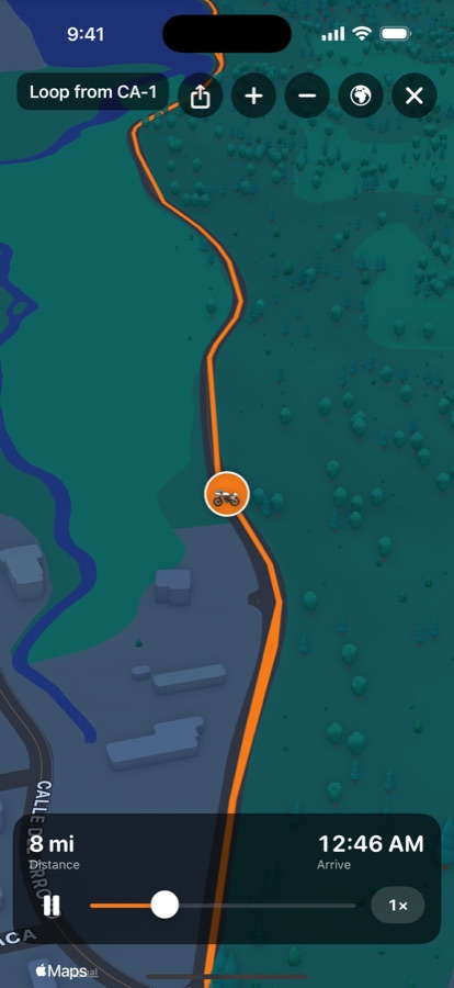
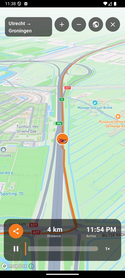
- 3D preview: fly over the route on real terrain before you ride
Ride
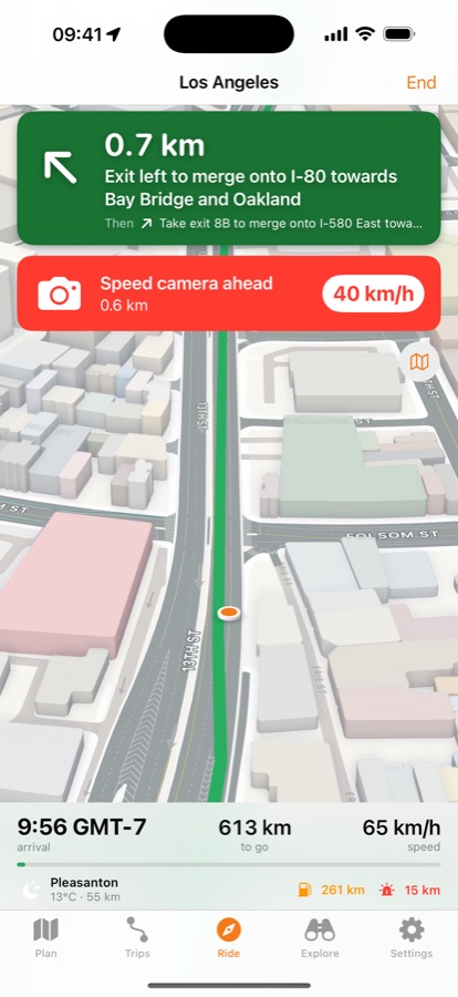
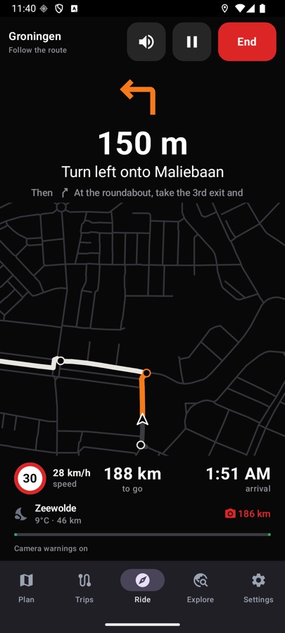
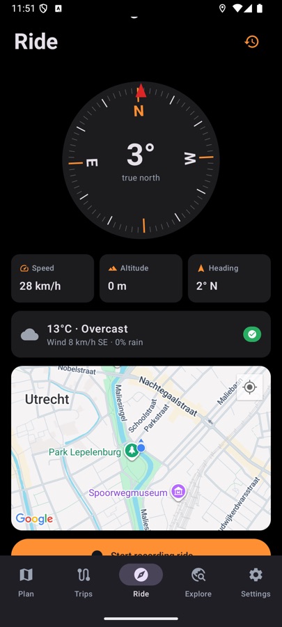
- Turn-by-turn navigation view with spoken directions
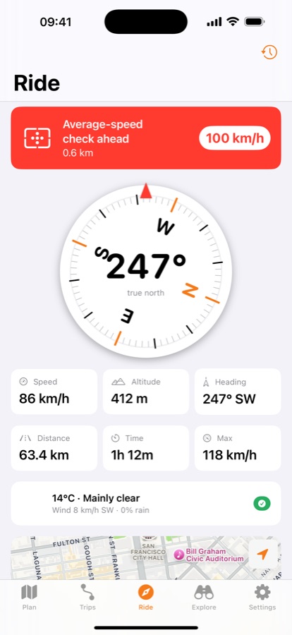
- The speed limit of the road you are on, with a warning when you go over it
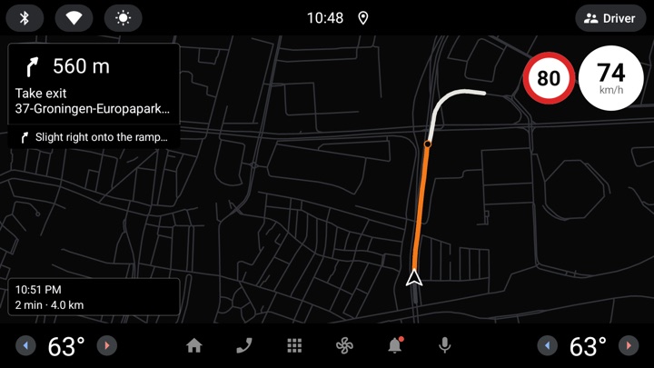
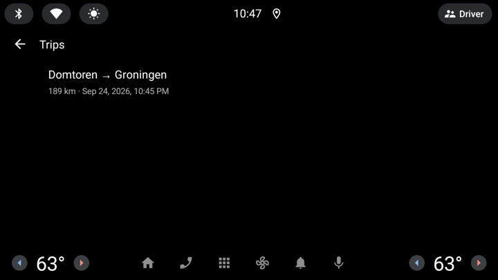
- CarPlay and Android Auto: follow a saved trip on your car or motorcycle display
- Speed cameras on the route and spoken warnings in your helmet
- Fuel stops planned from your own bike's range, with station prices where published
- Live compass, ride recording and GPX export
- 3D replay of every ride, shareable as a video
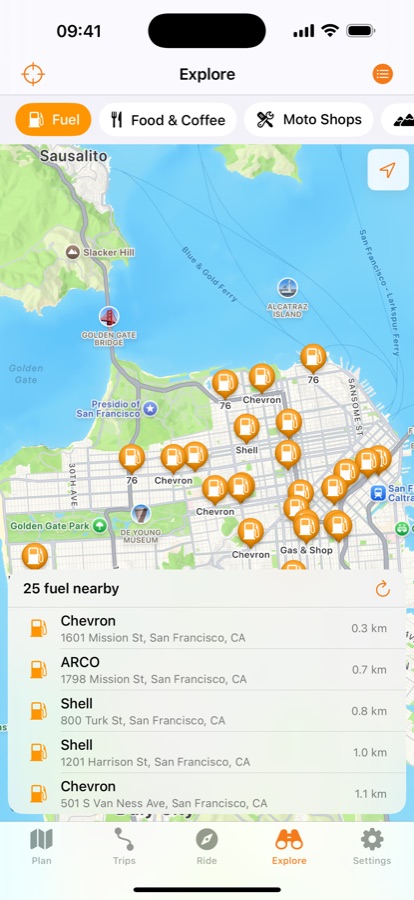
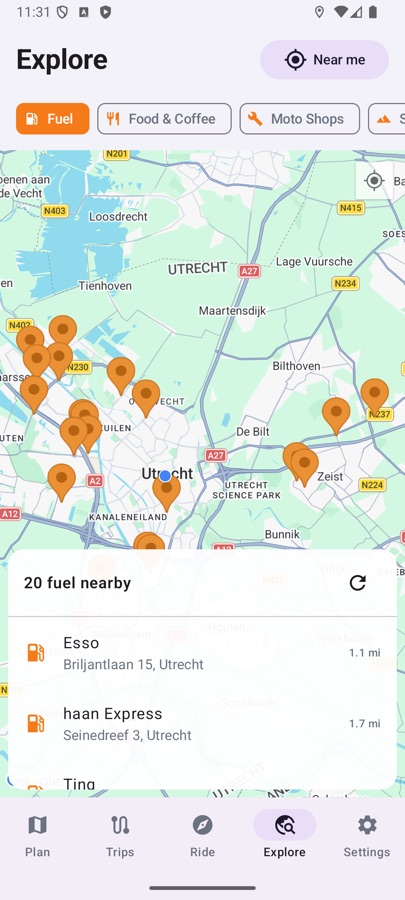
- Fuel, food, motorcycle shops and scenic spots near you or along the way
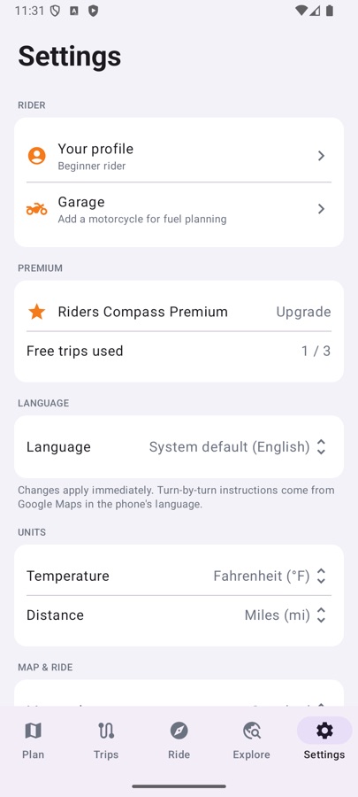
On iPhone
On Android
On the car display
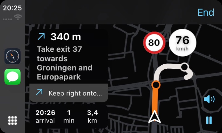
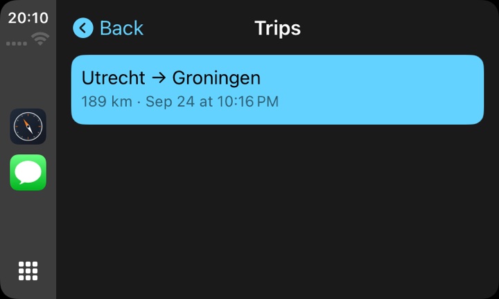
With CarPlay on iPhone and Android Auto on Android, pick a saved trip on your car or motorcycle display and follow it there: the road ahead, the next turn, your arrival time, your speed and the speed limit, with spoken directions through the vehicle's speakers. Planning stays on the phone.
Private by design
No account, no server, no analytics, no advertising. Trips, rides and your profile stay on your phone. Weather by Open-Meteo (CC BY 4.0), camera, road and speed-limit data © OpenStreetMap contributors, maps by Apple and Google.
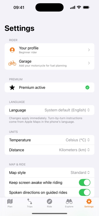
Free: three saved trips and weather along every route. Premium adds unlimited trips, alert details, speed cameras, elevation profiles, fuel planning, places along a route, 3D flyovers with video sharing and GPX export, with a one-week free trial.